Bridleway through a field of maize
Introduction
The photograph on this page of Bridleway through a field of maize by Oliver Dixon as part of the Geograph project.
The Geograph project started in 2005 with the aim of publishing, organising and preserving representative images for every square kilometre of Great Britain, Ireland and the Isle of Man.

There are currently over 7.5m images from over 14,400 individuals and you can help contribute to the project by visiting https://www.geograph.org.uk
Bridleway through a field of maize
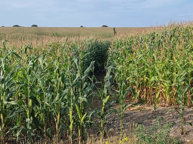
Image: © Oliver Dixon Taken: 27 Aug 2024
At this point the public bridleway to Overgate Road diverges from the broad farm road which runs north-east from Park House Farm. A path has been cut through the maize along the official line of the bridleway although it is difficult to imagine that many people would want to follow it.
Images are licensed for reuse under creativecommons.org/licenses/by-sa/2.0
Image Location
Latitude
52.777139
Longitude
-0.561528