Merton Road
Introduction
The photograph on this page of Merton Road by Ian Capper as part of the Geograph project.
The Geograph project started in 2005 with the aim of publishing, organising and preserving representative images for every square kilometre of Great Britain, Ireland and the Isle of Man.

There are currently over 7.5m images from over 14,400 individuals and you can help contribute to the project by visiting https://www.geograph.org.uk
Merton Road
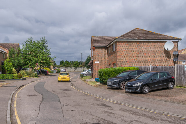
Image: © Ian Capper Taken: 6 Jul 2024
Cul de sac at the end of Carmichael Road, built in the c.1990s on a former corporation yard and railway lands. Earlier maps up to the 1930s show a church on the site.
Images are licensed for reuse under creativecommons.org/licenses/by-sa/2.0
Image Location
Latitude
51.393389
Longitude
-0.075503