The Shore Road at Greenisland
Introduction
The photograph on this page of The Shore Road at Greenisland by Rossographer as part of the Geograph project.
The Geograph project started in 2005 with the aim of publishing, organising and preserving representative images for every square kilometre of Great Britain, Ireland and the Isle of Man.

There are currently over 7.5m images from over 14,400 individuals and you can help contribute to the project by visiting https://www.geograph.org.uk
The Shore Road at Greenisland
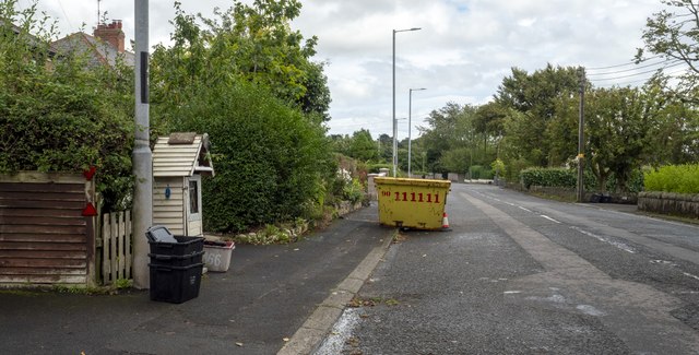
Image: © Rossographer Taken: 27 Aug 2024
The old A2, now relegated to just the Shore Road by the new bypass, though virtually traffic-free.
Images are licensed for reuse under creativecommons.org/licenses/by-sa/2.0
Image Location
Latitude
54.696648
Longitude
-5.855055