Whitechapel: Vallance Gardens
Introduction
The photograph on this page of Whitechapel: Vallance Gardens by Nigel Cox as part of the Geograph project.
The Geograph project started in 2005 with the aim of publishing, organising and preserving representative images for every square kilometre of Great Britain, Ireland and the Isle of Man.

There are currently over 7.5m images from over 14,400 individuals and you can help contribute to the project by visiting https://www.geograph.org.uk
Whitechapel: Vallance Gardens
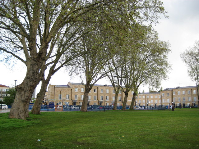
Image: © Nigel Cox Taken: 1 May 2008
The square, on the east side of Vallance Road, contains some mature London plane trees. The houses in Lomas Street are beyond.
Images are licensed for reuse under creativecommons.org/licenses/by-sa/2.0
Image Location
Latitude
51.520013
Longitude
-0.062833