Breadsall Old Hall
Introduction
The photograph on this page of Breadsall Old Hall by mike smith as part of the Geograph project.
The Geograph project started in 2005 with the aim of publishing, organising and preserving representative images for every square kilometre of Great Britain, Ireland and the Isle of Man.

There are currently over 7.5m images from over 14,400 individuals and you can help contribute to the project by visiting https://www.geograph.org.uk
Breadsall Old Hall
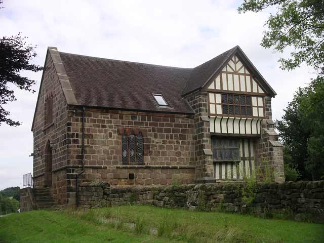
Image: © mike smith Taken: Unknown
This Medieval Old Hall stands opposite the Church on Moor Road and was once a manor house for the Lord of Breadsall, when the Manor was divided into Overhall and Netherhall. It later became the residence of the Harpur family http://www.picturesofderby.co.uk/area_breadsall.htm
Images are licensed for reuse under creativecommons.org/licenses/by-sa/2.0
Image Location


Leaflet Map data © OpenStreetMap
Latitude
52.954572
Longitude
-1.449666