Cross Roads Farm
Introduction
The photograph on this page of Cross Roads Farm by mike smith as part of the Geograph project.
The Geograph project started in 2005 with the aim of publishing, organising and preserving representative images for every square kilometre of Great Britain, Ireland and the Isle of Man.

There are currently over 7.5m images from over 14,400 individuals and you can help contribute to the project by visiting https://www.geograph.org.uk
Cross Roads Farm
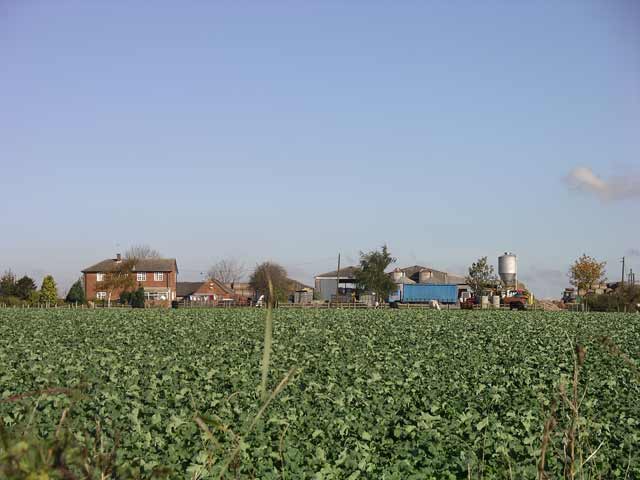
Image: © mike smith Taken: Unknown
Cross Roads Farm, junction of Lime lane and Morley Road, the main farmhouse was built in 1972 https://web.archive.org/web/20060625154440/http://www.picturesofderby.co.uk/area_oakwood.htm
Images are licensed for reuse under creativecommons.org/licenses/by-sa/2.0
Image Location


Leaflet Map data © OpenStreetMap
Latitude
52.949615
Longitude
-1.409545