Boundary stone, Emley / Kirkburton
Introduction
The photograph on this page of Boundary stone, Emley / Kirkburton by Humphrey Bolton as part of the Geograph project.
The Geograph project started in 2005 with the aim of publishing, organising and preserving representative images for every square kilometre of Great Britain, Ireland and the Isle of Man.

There are currently over 7.5m images from over 14,400 individuals and you can help contribute to the project by visiting https://www.geograph.org.uk
Boundary stone, Emley / Kirkburton
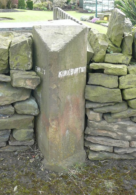
Image: © Humphrey Bolton Taken: 17 Apr 2008
It is interesting to seek out these old boundary stones, set up in the days when there were small local councils.
Images are licensed for reuse under creativecommons.org/licenses/by-sa/2.0
Image Location
Latitude
53.613118
Longitude
-1.678004