Stanton Vale Special School
Introduction
The photograph on this page of Stanton Vale Special School by David Lally as part of the Geograph project.
The Geograph project started in 2005 with the aim of publishing, organising and preserving representative images for every square kilometre of Great Britain, Ireland and the Isle of Man.

There are currently over 7.5m images from over 14,400 individuals and you can help contribute to the project by visiting https://www.geograph.org.uk
Stanton Vale Special School
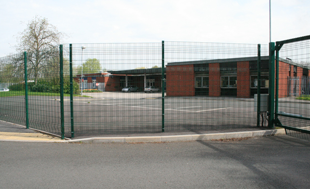
Image: © David Lally Taken: 27 Apr 2008
On Thoresby Avenue, now has a new neighbour in the new building of The Long Eaton School.
Images are licensed for reuse under creativecommons.org/licenses/by-sa/2.0
Image Location
Latitude
52.892827
Longitude
-1.283379