Street junction in Jesmond Vale
Introduction
The photograph on this page of Street junction in Jesmond Vale by Robert Graham as part of the Geograph project.
The Geograph project started in 2005 with the aim of publishing, organising and preserving representative images for every square kilometre of Great Britain, Ireland and the Isle of Man.

There are currently over 7.5m images from over 14,400 individuals and you can help contribute to the project by visiting https://www.geograph.org.uk
Street junction in Jesmond Vale
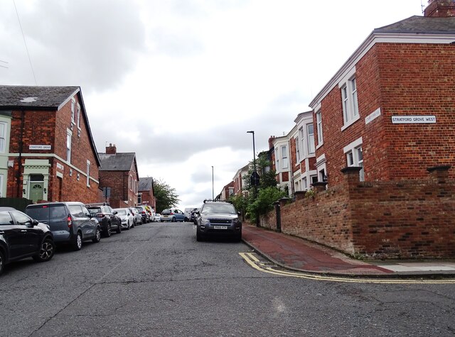
Image: © Robert Graham Taken: 15 Jul 2024
Junction of Stratford Grove West with Stratford Road. There is a dense network of terraced house streets in this area.
Images are licensed for reuse under creativecommons.org/licenses/by-sa/2.0
Image Location
Latitude
54.980627
Longitude
-1.591383