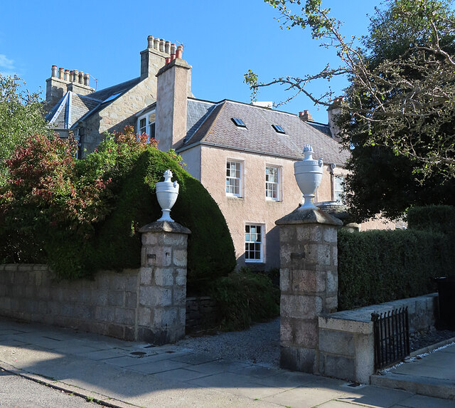
Fountainhall House
Introduction
The photograph on this page of Fountainhall House by Anne Burgess as part of the Geograph project.
The Geograph project started in 2005 with the aim of publishing, organising and preserving representative images for every square kilometre of Great Britain, Ireland and the Isle of Man.
There are currently over 7.5m images from over 14,400 individuals and you can help contribute to the project by visiting https://www.geograph.org.uk

Image: © Anne Burgess Taken: 13 Aug 2024
To be more precise, this is now 130 Blenheim Place, formerly Fountainhall House. It is much older than its neighbours, dating from 1752, and the first edition of the Ordnance Survey six-inch map, surveyed in the 1860s, shows it standing on its own among open fields. It was at one time the Whitehall Industrial School for girls. See https://portal.historicenvironment.scot/designation/LB20134 for details; the description, appositely, says that it is 'engulfed' by 19th century villas. Also see Image], taken when the vegetation was sparser and did not obstruct the view of the house.
Image Location


