Plas Britannia
Introduction
The photograph on this page of Plas Britannia by Eirian Evans as part of the Geograph project.
The Geograph project started in 2005 with the aim of publishing, organising and preserving representative images for every square kilometre of Great Britain, Ireland and the Isle of Man.

There are currently over 7.5m images from over 14,400 individuals and you can help contribute to the project by visiting https://www.geograph.org.uk
Plas Britannia
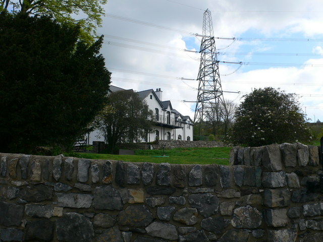
Image: © Eirian Evans Taken: 2 May 2008
A former rectory which has now been converted into a residential development, overlooking the Menai.
Images are licensed for reuse under creativecommons.org/licenses/by-sa/2.0
Image Location


Leaflet Map data © OpenStreetMap
Latitude
53.218195
Longitude
-4.191533