East face of east parapet of bridge taking road to Dockray Farm over railway
Introduction
The photograph on this page of East face of east parapet of bridge taking road to Dockray Farm over railway by Roger Templeman as part of the Geograph project.
The Geograph project started in 2005 with the aim of publishing, organising and preserving representative images for every square kilometre of Great Britain, Ireland and the Isle of Man.

There are currently over 7.5m images from over 14,400 individuals and you can help contribute to the project by visiting https://www.geograph.org.uk
East face of east parapet of bridge taking road to Dockray Farm over railway
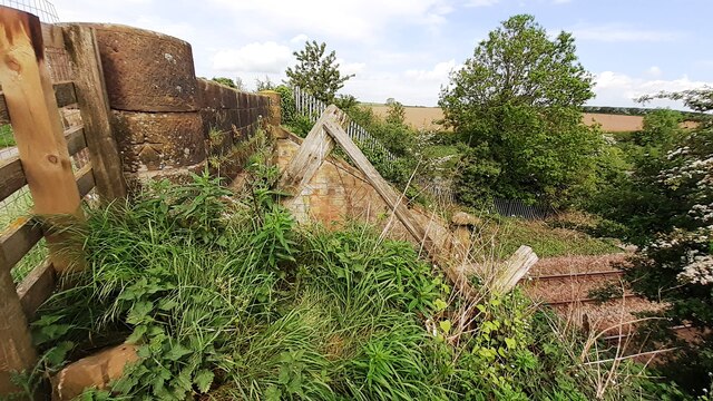
Image: © Roger Templeman Taken: 15 May 2024
There is an Ordnance Survey benchmark Image on the middle stone of the near parapet pier
Images are licensed for reuse under creativecommons.org/licenses/by-sa/2.0
Image Location
Latitude
54.833964
Longitude
-3.141129