Show Home on Phase II of the Shimna Mile Housing Development
Introduction
The photograph on this page of Show Home on Phase II of the Shimna Mile Housing Development by Eric Jones as part of the Geograph project.
The Geograph project started in 2005 with the aim of publishing, organising and preserving representative images for every square kilometre of Great Britain, Ireland and the Isle of Man.

There are currently over 7.5m images from over 14,400 individuals and you can help contribute to the project by visiting https://www.geograph.org.uk
Show Home on Phase II of the Shimna Mile Housing Development
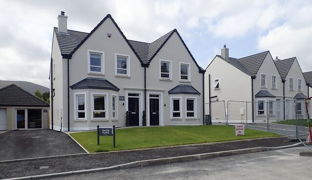
Image: © Eric Jones Taken: 18 Aug 2024
This is located off Bryansford Road
Images are licensed for reuse under creativecommons.org/licenses/by-sa/2.0
Image Location
Latitude
54.213535
Longitude
-5.897503