Undeveloped land off of Thane Road
Introduction
The photograph on this page of Undeveloped land off of Thane Road by Tom Newman as part of the Geograph project.
The Geograph project started in 2005 with the aim of publishing, organising and preserving representative images for every square kilometre of Great Britain, Ireland and the Isle of Man.

There are currently over 7.5m images from over 14,400 individuals and you can help contribute to the project by visiting https://www.geograph.org.uk
Undeveloped land off of Thane Road
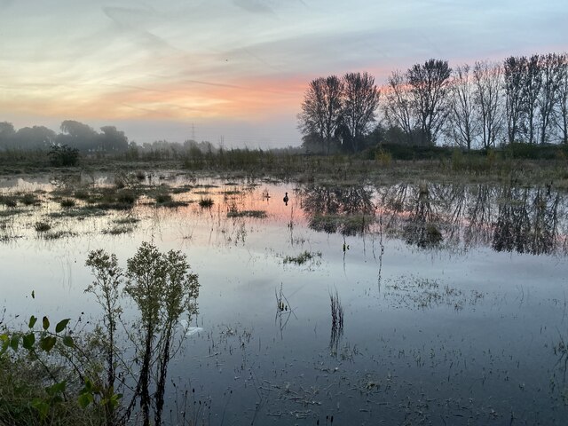
Image: © Tom Newman Taken: 23 Oct 2023
View of the wasteland / undeveloped area from Thane Road looking towards Beeston Canal (which is located behind the trees in the distance). The site regularly floods in the autumn and winter periods. This picture was taken during the wet Autumn of 2023 during a particularly beautiful morning sunrise.
Images are licensed for reuse under creativecommons.org/licenses/by-sa/2.0
Image Location
Latitude
52.924467
Longitude
-1.185278