The side of what was The Rising Sun public house
Introduction
The photograph on this page of The side of what was The Rising Sun public house by Steve Fareham as part of the Geograph project.
The Geograph project started in 2005 with the aim of publishing, organising and preserving representative images for every square kilometre of Great Britain, Ireland and the Isle of Man.

There are currently over 7.5m images from over 14,400 individuals and you can help contribute to the project by visiting https://www.geograph.org.uk
The side of what was The Rising Sun public house
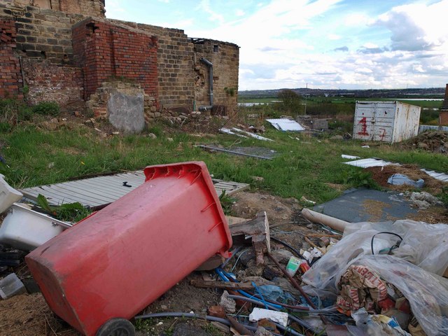
Image: © Steve Fareham Taken: 1 May 2008
Taken from the gate on Snape Hill. There has been a couple of attempts in recent years to refurb this property with no success.
Images are licensed for reuse under creativecommons.org/licenses/by-sa/2.0
Image Location
Latitude
53.533015
Longitude
-1.377777