Archway to St Andrew's
Introduction
The photograph on this page of Archway to St Andrew's by Neil Owen as part of the Geograph project.
The Geograph project started in 2005 with the aim of publishing, organising and preserving representative images for every square kilometre of Great Britain, Ireland and the Isle of Man.

There are currently over 7.5m images from over 14,400 individuals and you can help contribute to the project by visiting https://www.geograph.org.uk
Archway to St Andrew's
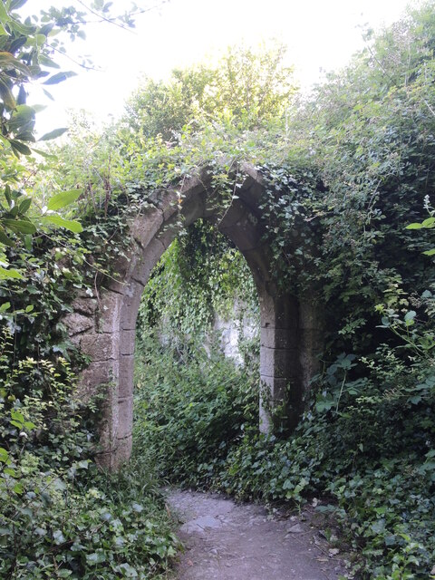
Image: © Neil Owen Taken: 19 Jul 2024
The old church of St Andrew's above Church Ope Cove has long been left to ruin and landslip, but some fractions of larger stonework remain.
Images are licensed for reuse under creativecommons.org/licenses/by-sa/2.0
Image Location
Latitude
50.538877
Longitude
-2.429498