Stone Stile, Ashton Keynes
Introduction
The photograph on this page of Stone Stile, Ashton Keynes by Jayne Tovey as part of the Geograph project.
The Geograph project started in 2005 with the aim of publishing, organising and preserving representative images for every square kilometre of Great Britain, Ireland and the Isle of Man.

There are currently over 7.5m images from over 14,400 individuals and you can help contribute to the project by visiting https://www.geograph.org.uk
Stone Stile, Ashton Keynes
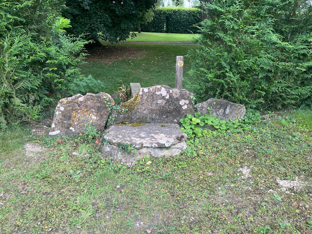
Image: © Jayne Tovey Taken: 13 Aug 2024
On Wiltshire footpath AKEY 14 South of Derryfields looking South. the view North is Image
Images are licensed for reuse under creativecommons.org/licenses/by-sa/2.0
Image Location


Leaflet Map data © OpenStreetMap
Latitude
51.642077
Longitude
-1.939908