Bouch House Farm
Introduction
The photograph on this page of Bouch House Farm by John Holmes as part of the Geograph project.
The Geograph project started in 2005 with the aim of publishing, organising and preserving representative images for every square kilometre of Great Britain, Ireland and the Isle of Man.

There are currently over 7.5m images from over 14,400 individuals and you can help contribute to the project by visiting https://www.geograph.org.uk
Bouch House Farm
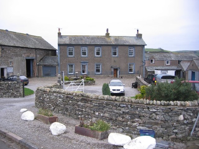
Image: © John Holmes Taken: 14 Nov 2005
You may need to look for Beech Ho on a modern map as an abbreviation of Bouch House Farm.
Images are licensed for reuse under creativecommons.org/licenses/by-sa/2.0
Image Location


Leaflet Map data © OpenStreetMap
Latitude
54.652455
Longitude
-3.323582