Bury Old Road
Introduction
The photograph on this page of Bury Old Road by Kevin Waterhouse as part of the Geograph project.
The Geograph project started in 2005 with the aim of publishing, organising and preserving representative images for every square kilometre of Great Britain, Ireland and the Isle of Man.

There are currently over 7.5m images from over 14,400 individuals and you can help contribute to the project by visiting https://www.geograph.org.uk
Bury Old Road
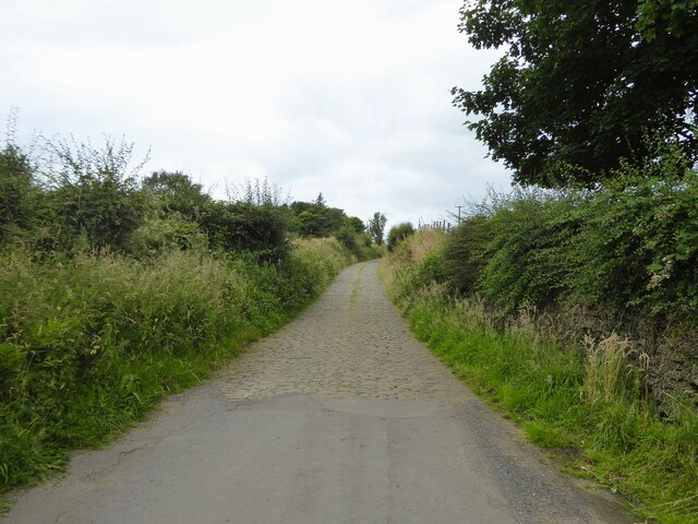
Image: © Kevin Waterhouse Taken: 27 Jul 2024
The road changes to a cobbled road after passing Butcher Acre Farm
Images are licensed for reuse under creativecommons.org/licenses/by-sa/2.0
Image Location
Latitude
53.636833
Longitude
-2.291702