Blunsdon By-pass north site, Blunsdon 01.05.2008
Introduction
The photograph on this page of Blunsdon By-pass north site, Blunsdon 01.05.2008 by Brian Robert Marshall as part of the Geograph project.
The Geograph project started in 2005 with the aim of publishing, organising and preserving representative images for every square kilometre of Great Britain, Ireland and the Isle of Man.

There are currently over 7.5m images from over 14,400 individuals and you can help contribute to the project by visiting https://www.geograph.org.uk
Blunsdon By-pass north site, Blunsdon 01.05.2008
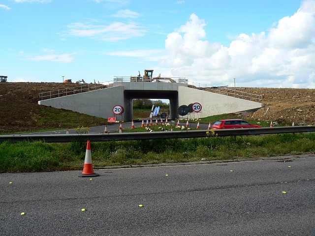
Image: © Brian Robert Marshall Taken: 1 May 2008
This bridge, part of the Blunsdon by-pass project, may be seen in this image taken seven months ago http://www.geograph.org.uk/photo/567572 The bridge has largely been completed and has attracted the half-hearted attentions of some passing ASBO fodder.
Images are licensed for reuse under creativecommons.org/licenses/by-sa/2.0
Image Location
Latitude
51.61748
Longitude
-1.803089