Tuel Lane Deep Lock under construction
Introduction
The photograph on this page of Tuel Lane Deep Lock under construction by Dr Neil Clifton as part of the Geograph project.
The Geograph project started in 2005 with the aim of publishing, organising and preserving representative images for every square kilometre of Great Britain, Ireland and the Isle of Man.

There are currently over 7.5m images from over 14,400 individuals and you can help contribute to the project by visiting https://www.geograph.org.uk
Tuel Lane Deep Lock under construction
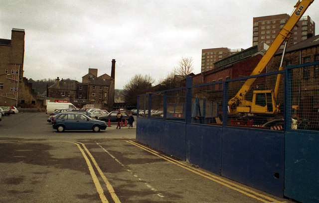
Image: © Dr Neil Clifton Taken: Unknown
In April 1994, work had commenced on digging the chamber of the new Tuel Lane Deep Lock No 3/4 which would reconnect the eastern end of the Rochdale Canal with the rest of the waterway system
Images are licensed for reuse under creativecommons.org/licenses/by-sa/2.0
Image Location


Leaflet Map data © OpenStreetMap
Latitude
53.709509
Longitude
-1.90876