Warehill Lane Junction with the A19
Introduction
The photograph on this page of Warehill Lane Junction with the A19 by Chris Heaton as part of the Geograph project.
The Geograph project started in 2005 with the aim of publishing, organising and preserving representative images for every square kilometre of Great Britain, Ireland and the Isle of Man.

There are currently over 7.5m images from over 14,400 individuals and you can help contribute to the project by visiting https://www.geograph.org.uk
Warehill Lane Junction with the A19
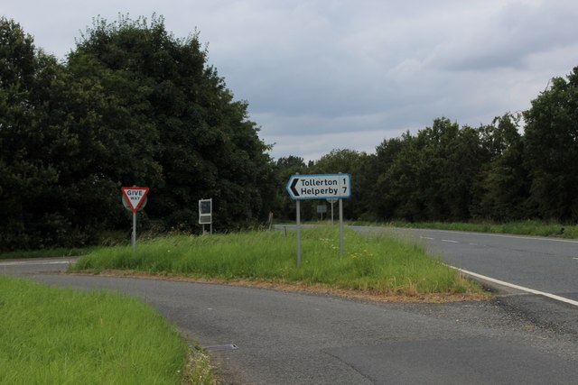
Image: © Chris Heaton Taken: 4 Aug 2024
The original route of the A19 turned left here as well, before executing a sharp right a few yards further on. The kink has been straightened out so traffic can maintain a steady speed.
Images are licensed for reuse under creativecommons.org/licenses/by-sa/2.0
Image Location
Latitude
54.064897
Longitude
-1.19063