Former Beeston Methodist church, east side
Introduction
The photograph on this page of Former Beeston Methodist church, east side by Stephen Craven as part of the Geograph project.
The Geograph project started in 2005 with the aim of publishing, organising and preserving representative images for every square kilometre of Great Britain, Ireland and the Isle of Man.

There are currently over 7.5m images from over 14,400 individuals and you can help contribute to the project by visiting https://www.geograph.org.uk
Former Beeston Methodist church, east side
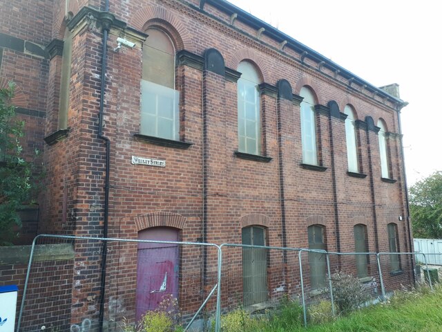
Image: © Stephen Craven Taken: 3 Aug 2024
Opened in the 1860s as a Wesleyan chapel (WYAS holds registers from 1866-1983), it closed as a church no later than 2011, see Image, but still appears vacant. However, the Yorkshire Evening Post reported in 2023 that plans had been submitted for conversion to a community centre with apartments above.
Images are licensed for reuse under creativecommons.org/licenses/by-sa/2.0
Image Location
Latitude
53.772758
Longitude
-1.567085