Properties on north side of Killhope Burn
Introduction
The photograph on this page of Properties on north side of Killhope Burn by Trevor Littlewood as part of the Geograph project.
The Geograph project started in 2005 with the aim of publishing, organising and preserving representative images for every square kilometre of Great Britain, Ireland and the Isle of Man.

There are currently over 7.5m images from over 14,400 individuals and you can help contribute to the project by visiting https://www.geograph.org.uk
Properties on north side of Killhope Burn
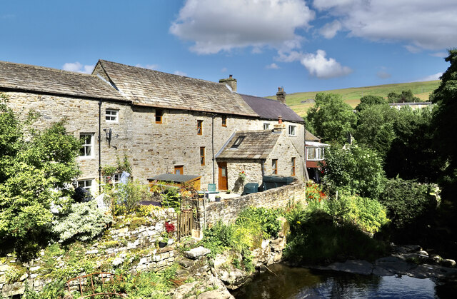
Image: © Trevor Littlewood Taken: 6 Aug 2024
The houses are in Cowshill; they overlook the burn as it tumbles over rocks below Burtreeford Bridge, from where the image was made.
Images are licensed for reuse under creativecommons.org/licenses/by-sa/2.0
Image Location
Latitude
54.759584
Longitude
-2.228398