Old Milestone by the A44, southeast of Enstone
Introduction
The photograph on this page of Old Milestone by the A44, southeast of Enstone by john shortland as part of the Geograph project.
The Geograph project started in 2005 with the aim of publishing, organising and preserving representative images for every square kilometre of Great Britain, Ireland and the Isle of Man.

There are currently over 7.5m images from over 14,400 individuals and you can help contribute to the project by visiting https://www.geograph.org.uk
Old Milestone by the A44, southeast of Enstone
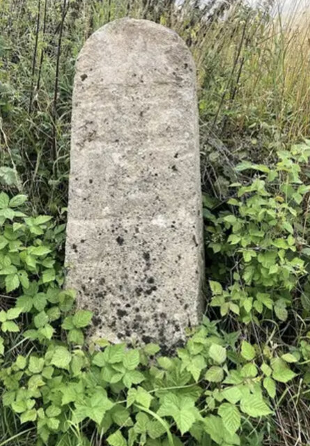
Image: © john shortland Taken: 7 Aug 2024
Carved stone post by the A44, in parish of ENSTONE (WEST OXFORDSHIRE District), turning of lane to Radford Bridge, near old bus stop, on wide verge between road and a stone wall, on West side of road. Rollright pillar, erected by the Woodstock & Rollright Lane turnpike trust in the 18th century. Inscription once read:- : (TO / BANBURY / 13 / CHIPPING NORTON / 5 / MILES) : : (TO / LONDON / 68 / MILES / OXFORD / 12) : Carved benchmark on front lower face. Oxfordshire HER. HER Number: 10050 https://www.heritagegateway.org.uk/Gateway/Results_Single.aspx?uid=MOX897&resourceID=1033 Milestone Society National ID: OX_LW68
Images are licensed for reuse under creativecommons.org/licenses/by-sa/2.0
Image Location


Leaflet Map data © OpenStreetMap
Latitude
51.905736
Longitude
-1.430563