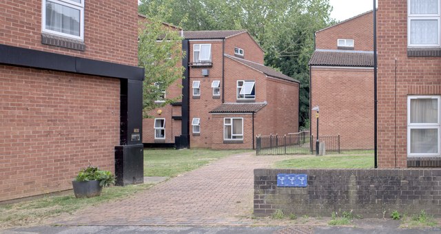
To the river
Introduction
The photograph on this page of To the river by Bob Harvey as part of the Geograph project.
The Geograph project started in 2005 with the aim of publishing, organising and preserving representative images for every square kilometre of Great Britain, Ireland and the Isle of Man.
There are currently over 7.5m images from over 14,400 individuals and you can help contribute to the project by visiting https://www.geograph.org.uk

Image: © Bob Harvey Taken: 4 Aug 2024
This path leads from Agnes Street through to the Witham riverside path. The buildings are part of the Riverside sheltered accommodation complex. There is a Soviet style bleakness here, barely mitigated by the summer, which I think shows an uncaring approach when it was built in the 1980s, not long after South Kesteven District Council was created. This is not brutalist architecture, but it is influenced by it, and can perhaps be called Functionalist. The area is illustrated here: https://granthammatters.co.uk/town-centre-street-before-new-developments/ before these homes were built.
Image Location


