Gresley Way Lamppost (123) Stevenage
Introduction
The photograph on this page of Gresley Way Lamppost (123) Stevenage by Andy Steele as part of the Geograph project.
The Geograph project started in 2005 with the aim of publishing, organising and preserving representative images for every square kilometre of Great Britain, Ireland and the Isle of Man.

There are currently over 7.5m images from over 14,400 individuals and you can help contribute to the project by visiting https://www.geograph.org.uk
Gresley Way Lamppost (123) Stevenage
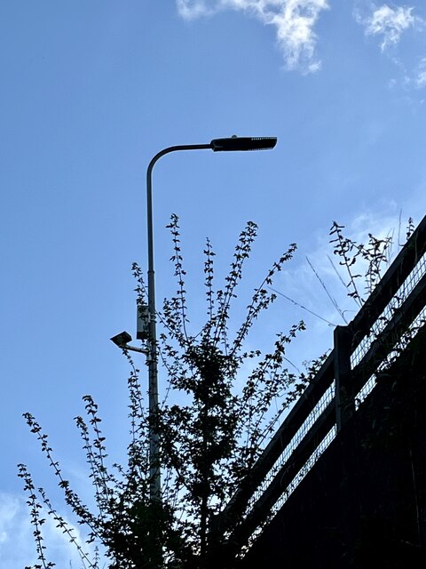
Image: © Andy Steele Taken: 6 Aug 2024
Located in the Chells Manor Area of Stevenage. This was taken on the former Lanterns Lane just below looking upwards, the lamppost is indicating of the left turning for Lanterns Lane which goes towards Aston End.
Images are licensed for reuse under creativecommons.org/licenses/by-sa/2.0
Image Location
Latitude
51.905517
Longitude
-0.158228