Bright railings by Marriott's Way, near Drayton
Introduction
The photograph on this page of Bright railings by Marriott's Way, near Drayton by David Smith as part of the Geograph project.
The Geograph project started in 2005 with the aim of publishing, organising and preserving representative images for every square kilometre of Great Britain, Ireland and the Isle of Man.

There are currently over 7.5m images from over 14,400 individuals and you can help contribute to the project by visiting https://www.geograph.org.uk
Bright railings by Marriott's Way, near Drayton
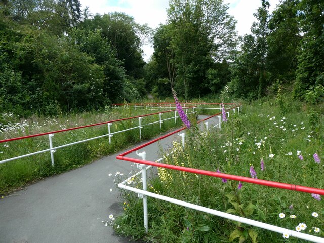
Image: © David Smith Taken: 8 Jun 2024
This slope links Taverham Road to the cycle route. Formerly the road crossed the railway on a bridge, but subsequent development of the station site meant the link from road to cycle route had to be made into a slope and the railings remove the temptation to speed down!
Images are licensed for reuse under creativecommons.org/licenses/by-sa/2.0
Image Location
Latitude
52.676148
Longitude
1.219377