Hungate site development
Introduction
The photograph on this page of Hungate site development by DS Pugh as part of the Geograph project.
The Geograph project started in 2005 with the aim of publishing, organising and preserving representative images for every square kilometre of Great Britain, Ireland and the Isle of Man.

There are currently over 7.5m images from over 14,400 individuals and you can help contribute to the project by visiting https://www.geograph.org.uk
Hungate site development
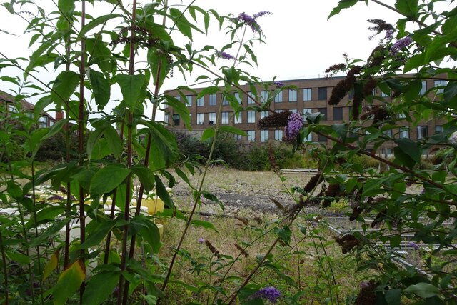
Image: © DS Pugh Taken: 4 Aug 2024
This part of the Hungate site is still to be developed and has been boarded up for many years.
Images are licensed for reuse under creativecommons.org/licenses/by-sa/2.0
Image Location
Latitude
53.959185
Longitude
-1.076391