Lodore Road, Jesmond
Introduction
The photograph on this page of Lodore Road, Jesmond by Robert Graham as part of the Geograph project.
The Geograph project started in 2005 with the aim of publishing, organising and preserving representative images for every square kilometre of Great Britain, Ireland and the Isle of Man.

There are currently over 7.5m images from over 14,400 individuals and you can help contribute to the project by visiting https://www.geograph.org.uk
Lodore Road, Jesmond
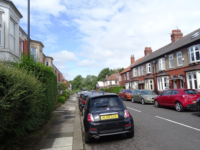
Image: © Robert Graham Taken: 15 Jul 2024
Part of the grid of terraced streets in this part of Jesmond. These streets were built in the early 20th century as superior houses for the expanding middle classes of Newcastle upon Tyne. Jesmond remains a predominately middle class area.
Images are licensed for reuse under creativecommons.org/licenses/by-sa/2.0
Image Location
Latitude
55.000464
Longitude
-1.611972