Track at Llangattock-Vibon-Avel
Introduction
The photograph on this page of Track at Llangattock-Vibon-Avel by Fabian Musto as part of the Geograph project.
The Geograph project started in 2005 with the aim of publishing, organising and preserving representative images for every square kilometre of Great Britain, Ireland and the Isle of Man.

There are currently over 7.5m images from over 14,400 individuals and you can help contribute to the project by visiting https://www.geograph.org.uk
Track at Llangattock-Vibon-Avel
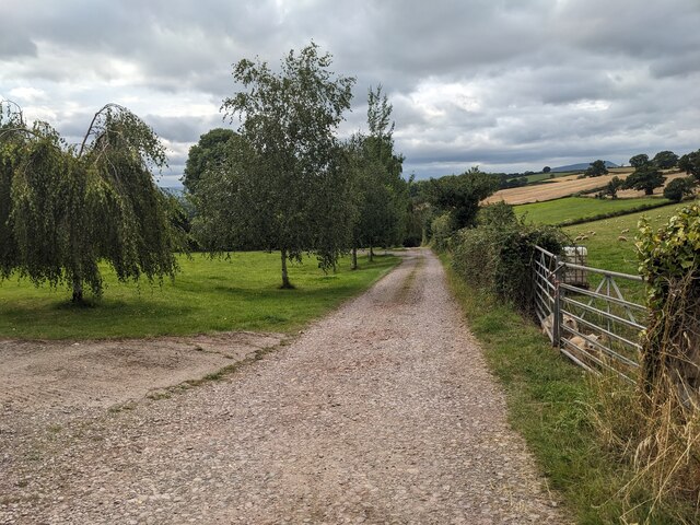
Image: © Fabian Musto Taken: 2 Aug 2024
We followed this track to find the parish church of St. Cadoc, now managed by the Friends of Friendless Churches.
Images are licensed for reuse under creativecommons.org/licenses/by-sa/2.0
Image Location
Latitude
51.837627
Longitude
-2.787469