Maryhill Locks
Introduction
The photograph on this page of Maryhill Locks by Richard Sutcliffe as part of the Geograph project.
The Geograph project started in 2005 with the aim of publishing, organising and preserving representative images for every square kilometre of Great Britain, Ireland and the Isle of Man.

There are currently over 7.5m images from over 14,400 individuals and you can help contribute to the project by visiting https://www.geograph.org.uk
Maryhill Locks
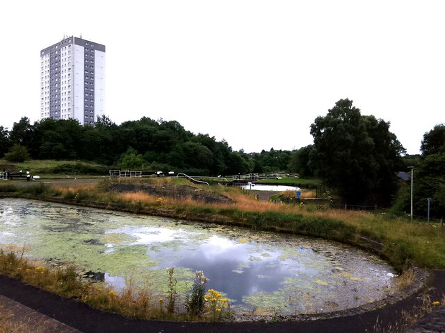
Image: © Richard Sutcliffe Taken: 25 Jul 2024
In the foreground is the original Kelvin dry dock, built in 1790 and used in the onstruction of the famous 'puffers'.
Images are licensed for reuse under creativecommons.org/licenses/by-sa/2.0
Image Location
Latitude
55.892621
Longitude
-4.299441