Lane near Trellwyn
Introduction
The photograph on this page of Lane near Trellwyn by Jeff Buck as part of the Geograph project.
The Geograph project started in 2005 with the aim of publishing, organising and preserving representative images for every square kilometre of Great Britain, Ireland and the Isle of Man.

There are currently over 7.5m images from over 14,400 individuals and you can help contribute to the project by visiting https://www.geograph.org.uk
Lane near Trellwyn
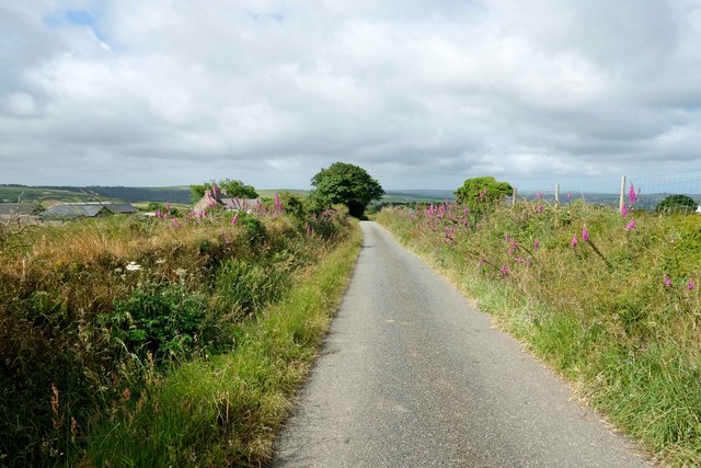
Image: © Jeff Buck Taken: 27 Jun 2024
Heading southwest along a lane to the south of Garn Fawr.
Images are licensed for reuse under creativecommons.org/licenses/by-sa/2.0
Image Location


Leaflet Map data © OpenStreetMap
Latitude
51.988007
Longitude
-4.905414