Riversdale Bridges
Introduction
The photograph on this page of Riversdale Bridges by John Poyser as part of the Geograph project.
The Geograph project started in 2005 with the aim of publishing, organising and preserving representative images for every square kilometre of Great Britain, Ireland and the Isle of Man.

There are currently over 7.5m images from over 14,400 individuals and you can help contribute to the project by visiting https://www.geograph.org.uk
Riversdale Bridges
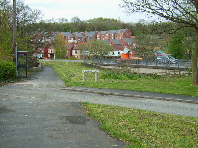
Image: © John Poyser Taken: 30 Apr 2008
The two bridges at Riversdale,the left one with the path and grass is the old road over the river Amber, whilst the new concrete bridge carries the A610 road up to Ripley.
Images are licensed for reuse under creativecommons.org/licenses/by-sa/2.0
Image Location


Leaflet Map data © OpenStreetMap
Latitude
53.062802
Longitude
-1.469329