Churchover Motte
Introduction
The photograph on this page of Churchover Motte by Ian Rob as part of the Geograph project.
The Geograph project started in 2005 with the aim of publishing, organising and preserving representative images for every square kilometre of Great Britain, Ireland and the Isle of Man.

There are currently over 7.5m images from over 14,400 individuals and you can help contribute to the project by visiting https://www.geograph.org.uk
Churchover Motte
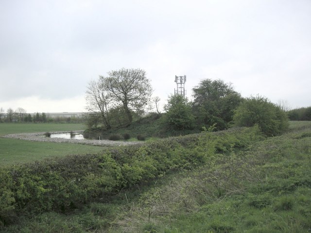
Image: © Ian Rob Taken: 30 Apr 2008
This moated mound close to Junction 1 of the M6 Motorway is believed to be either a Bronze Age Bowl Barrow or a Windmill Mound. It may also have been part of the deserted medieval village of Coton.
Images are licensed for reuse under creativecommons.org/licenses/by-sa/2.0
Image Location
Latitude
52.409471
Longitude
-1.24478