Kings Farm, Woodmancote
Introduction
The photograph on this page of Kings Farm, Woodmancote by Bob Embleton as part of the Geograph project.
The Geograph project started in 2005 with the aim of publishing, organising and preserving representative images for every square kilometre of Great Britain, Ireland and the Isle of Man.

There are currently over 7.5m images from over 14,400 individuals and you can help contribute to the project by visiting https://www.geograph.org.uk
Kings Farm, Woodmancote
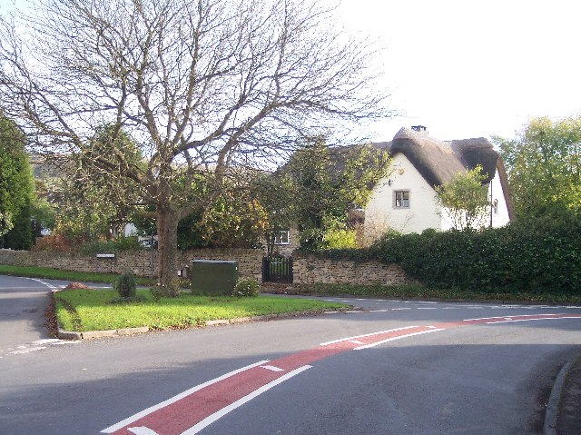
Image: © Bob Embleton Taken: 14 Nov 2005
One of the older buildings in what is now a crowded urban environment.
Images are licensed for reuse under creativecommons.org/licenses/by-sa/2.0
Image Location
Latitude
51.943293
Longitude
-2.042142