Cotswold Way
Introduction
The photograph on this page of Cotswold Way by terry joyce as part of the Geograph project.
The Geograph project started in 2005 with the aim of publishing, organising and preserving representative images for every square kilometre of Great Britain, Ireland and the Isle of Man.

There are currently over 7.5m images from over 14,400 individuals and you can help contribute to the project by visiting https://www.geograph.org.uk
Cotswold Way
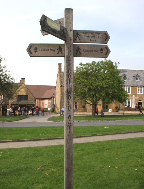
Image: © terry joyce Taken: 26 Apr 2008
This signpost is marking part of the route of the Cotswold Way. The Cotswold Way is a long distance walking Trail that runs between the market town of Chipping Campden in the north and the city of Bath in the south. The Trail is 102 miles (164 km) long. http://www.nationaltrail.co.uk/Cotswold/index.asp?PageId=1
Images are licensed for reuse under creativecommons.org/licenses/by-sa/2.0
Image Location


Leaflet Map data © OpenStreetMap
Latitude
52.034926
Longitude
-1.862926