Track and footpath in the Habberley Valley
Introduction
The photograph on this page of Track and footpath in the Habberley Valley by Mat Fascione as part of the Geograph project.
The Geograph project started in 2005 with the aim of publishing, organising and preserving representative images for every square kilometre of Great Britain, Ireland and the Isle of Man.

There are currently over 7.5m images from over 14,400 individuals and you can help contribute to the project by visiting https://www.geograph.org.uk
Track and footpath in the Habberley Valley
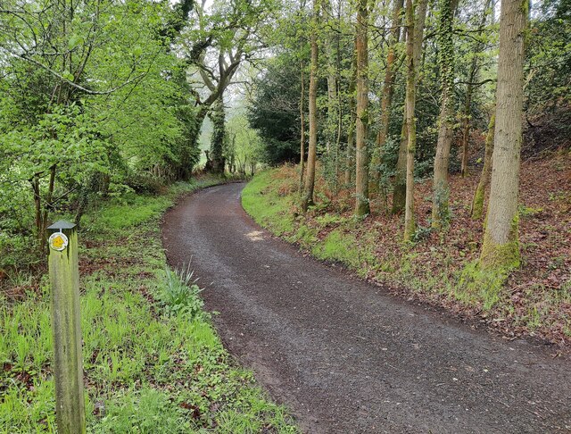
Image: © Mat Fascione Taken: 6 May 2023
Habberley Valley is a Local Nature Reserve consisting of approximately 27.5 hectares (68 acres) of lowland heathland and woodland with large sandstone outcrops.
Images are licensed for reuse under creativecommons.org/licenses/by-sa/2.0
Image Location
Latitude
52.398118
Longitude
-2.294775