Former Congregational Chapel
Introduction
The photograph on this page of Former Congregational Chapel by Kevin Waterhouse as part of the Geograph project.
The Geograph project started in 2005 with the aim of publishing, organising and preserving representative images for every square kilometre of Great Britain, Ireland and the Isle of Man.

There are currently over 7.5m images from over 14,400 individuals and you can help contribute to the project by visiting https://www.geograph.org.uk
Former Congregational Chapel
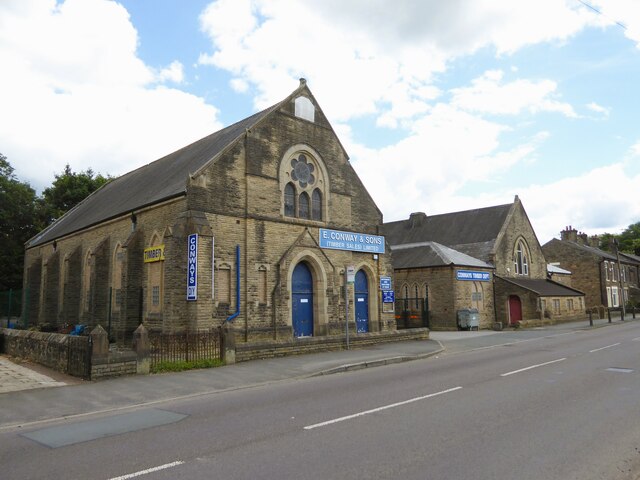
Image: © Kevin Waterhouse Taken: 8 Jul 2024
Now part of a timber & DIY business along the A57 at Brookfield. Beyond the chapel is a former school which is used by the same business.
Images are licensed for reuse under creativecommons.org/licenses/by-sa/2.0
Image Location
Latitude
53.453826
Longitude
-1.983848