Birmingham - Rotunda
Introduction
The photograph on this page of Birmingham - Rotunda by Ian Rob as part of the Geograph project.
The Geograph project started in 2005 with the aim of publishing, organising and preserving representative images for every square kilometre of Great Britain, Ireland and the Isle of Man.

There are currently over 7.5m images from over 14,400 individuals and you can help contribute to the project by visiting https://www.geograph.org.uk
Birmingham - Rotunda
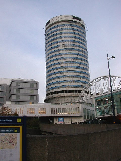
Image: © Ian Rob Taken: 14 Nov 2005
Still standing despite pub bombing in 1970s, undergoing conversion into flats and Penthouse suites.
Images are licensed for reuse under creativecommons.org/licenses/by-sa/2.0
Image Location


Leaflet Map data © OpenStreetMap
Latitude
52.478181
Longitude
-1.895419