A caged river
Introduction
The photograph on this page of A caged river by Bob Harvey as part of the Geograph project.
The Geograph project started in 2005 with the aim of publishing, organising and preserving representative images for every square kilometre of Great Britain, Ireland and the Isle of Man.

There are currently over 7.5m images from over 14,400 individuals and you can help contribute to the project by visiting https://www.geograph.org.uk
A caged river
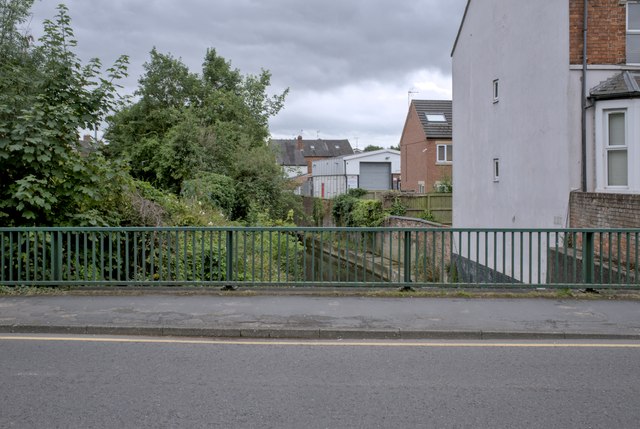
Image: © Bob Harvey Taken: 14 Jul 2024
Blocked between the embankments seen in Image, even the parapets of the bridge (this is the upstream one of Image) look like an attempt to contain and tame the river.
Images are licensed for reuse under creativecommons.org/licenses/by-sa/2.0
Image Location
Latitude
52.910274
Longitude
-0.636978