Batemans Mews, Warley
Introduction
The photograph on this page of Batemans Mews, Warley by Des Blenkinsopp as part of the Geograph project.
The Geograph project started in 2005 with the aim of publishing, organising and preserving representative images for every square kilometre of Great Britain, Ireland and the Isle of Man.

There are currently over 7.5m images from over 14,400 individuals and you can help contribute to the project by visiting https://www.geograph.org.uk
Batemans Mews, Warley
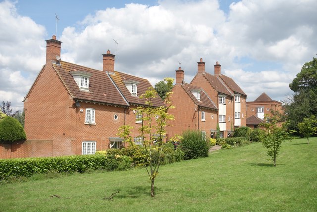
Image: © Des Blenkinsopp Taken: 17 Jul 2024
A large Victorian hospital site has been redeveloped for housing. The place is a mixture of the old original 19th century buildings and 21st century additions. Not all houses have such a nice view in front as these ones.
Images are licensed for reuse under creativecommons.org/licenses/by-sa/2.0
Image Location
Latitude
51.609779
Longitude
0.29051