The Bridge End Road near Ballycarry (3)
Introduction
The photograph on this page of The Bridge End Road near Ballycarry (3) by Albert Bridge as part of the Geograph project.
The Geograph project started in 2005 with the aim of publishing, organising and preserving representative images for every square kilometre of Great Britain, Ireland and the Isle of Man.

There are currently over 7.5m images from over 14,400 individuals and you can help contribute to the project by visiting https://www.geograph.org.uk
The Bridge End Road near Ballycarry (3)
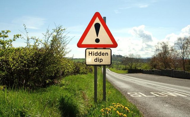
Image: © Albert Bridge Taken: 29 Apr 2008
See Image The view in the direction of Carrickfergus. The sign confirms the undulating nature of the road.
Images are licensed for reuse under creativecommons.org/licenses/by-sa/2.0
Image Location


Leaflet Map data © OpenStreetMap
Latitude
54.761641
Longitude
-5.752642