Recreation Avenue, Harold Wood
Introduction
The photograph on this page of Recreation Avenue, Harold Wood by Des Blenkinsopp as part of the Geograph project.
The Geograph project started in 2005 with the aim of publishing, organising and preserving representative images for every square kilometre of Great Britain, Ireland and the Isle of Man.

There are currently over 7.5m images from over 14,400 individuals and you can help contribute to the project by visiting https://www.geograph.org.uk
Recreation Avenue, Harold Wood
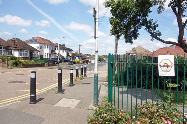
Image: © Des Blenkinsopp Taken: 17 Jul 2024
A picture taken at the entrance to Harold Wood Park, which no doubt explains the street name. On the railngs is a home made 20mph Speed Limit sign done by kids at the primary school on the other side of the park gate.
Images are licensed for reuse under creativecommons.org/licenses/by-sa/2.0
Image Location
Latitude
51.586677
Longitude
0.234057