Mill Lane footpath
Introduction
The photograph on this page of Mill Lane footpath by Neil Owen as part of the Geograph project.
The Geograph project started in 2005 with the aim of publishing, organising and preserving representative images for every square kilometre of Great Britain, Ireland and the Isle of Man.

There are currently over 7.5m images from over 14,400 individuals and you can help contribute to the project by visiting https://www.geograph.org.uk
Mill Lane footpath
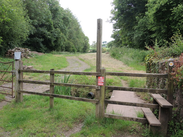
Image: © Neil Owen Taken: 18 Jun 2024
The old Town Mill used to stand near here in the southeast part of town, close to the stream that leads towards the Hillfarrance Brook. A footpath crosses the stream and leads south past the new solar farm.
Images are licensed for reuse under creativecommons.org/licenses/by-sa/2.0
Image Location
Latitude
51.039353
Longitude
-3.30759