B6478 heading south passing houses Meadfoot and Lynmoor
Introduction
The photograph on this page of B6478 heading south passing houses Meadfoot and Lynmoor by Roger Templeman as part of the Geograph project.
The Geograph project started in 2005 with the aim of publishing, organising and preserving representative images for every square kilometre of Great Britain, Ireland and the Isle of Man.

There are currently over 7.5m images from over 14,400 individuals and you can help contribute to the project by visiting https://www.geograph.org.uk
B6478 heading south passing houses Meadfoot and Lynmoor
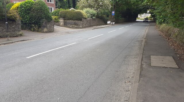
Image: © Roger Templeman Taken: 13 Jul 2024
Ordnance Survey records indicate that a benchmark was levelled at 71.133m above Newlyn Datum in 1960 on the roadside wall near the entrances to the houses
Images are licensed for reuse under creativecommons.org/licenses/by-sa/2.0
Image Location
Latitude
53.878219
Longitude
-2.396967