Dunning - The Kirkstyle Inn
Introduction
The photograph on this page of Dunning - The Kirkstyle Inn by Colin Smith as part of the Geograph project.
The Geograph project started in 2005 with the aim of publishing, organising and preserving representative images for every square kilometre of Great Britain, Ireland and the Isle of Man.

There are currently over 7.5m images from over 14,400 individuals and you can help contribute to the project by visiting https://www.geograph.org.uk
Dunning - The Kirkstyle Inn
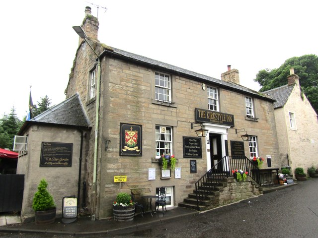
Image: © Colin Smith Taken: 26 Jun 2024
The pub was rebuilt after the village was burnt to the ground by rebellious Jacobite Highlanders after the inconclusive Battle of Sheriffmuir in 1715. www.thekirkstyleinn.co.uk
Images are licensed for reuse under creativecommons.org/licenses/by-sa/2.0
Image Location
Latitude
56.312181
Longitude
-3.587196