Picnic area on former railway sidings, south Crosland
Introduction
The photograph on this page of Picnic area on former railway sidings, south Crosland by Humphrey Bolton as part of the Geograph project.
The Geograph project started in 2005 with the aim of publishing, organising and preserving representative images for every square kilometre of Great Britain, Ireland and the Isle of Man.

There are currently over 7.5m images from over 14,400 individuals and you can help contribute to the project by visiting https://www.geograph.org.uk
Picnic area on former railway sidings, south Crosland
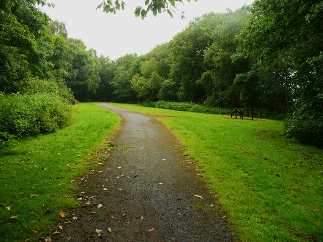
Image: © Humphrey Bolton Taken: 12 Jul 2024
This was probably made in the hope that the disused Meltham Branch will eventually be made into a greenway all the way from Netherton to Meltham. The Meltham end was made several years ago.
Images are licensed for reuse under creativecommons.org/licenses/by-sa/2.0
Image Location
Latitude
53.606863
Longitude
-1.826161