Clay Bottom Farm
Introduction
The photograph on this page of Clay Bottom Farm by Adrian Taylor as part of the Geograph project.
The Geograph project started in 2005 with the aim of publishing, organising and preserving representative images for every square kilometre of Great Britain, Ireland and the Isle of Man.

There are currently over 7.5m images from over 14,400 individuals and you can help contribute to the project by visiting https://www.geograph.org.uk
Clay Bottom Farm
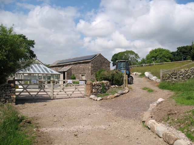
Image: © Adrian Taylor Taken: 11 Jun 2018
Clay Bottom Farm is on the route of The Cumbria Way, which follows a public footpath through the double gates and passes through the farm yard in front of the barn. The property owner has signposted an unofficial diversion up the bank beside the blue tractor and behind the barn, but the official route of both the public footpath and The Cumbria Way is through the farm yard (next photograph Image).
Images are licensed for reuse under creativecommons.org/licenses/by-sa/2.0
Image Location
Latitude
54.728821
Longitude
-3.051056