Beverley Coronation Gardens
Introduction
The photograph on this page of Beverley Coronation Gardens by Paul Harrop as part of the Geograph project.
The Geograph project started in 2005 with the aim of publishing, organising and preserving representative images for every square kilometre of Great Britain, Ireland and the Isle of Man.

There are currently over 7.5m images from over 14,400 individuals and you can help contribute to the project by visiting https://www.geograph.org.uk
Beverley Coronation Gardens
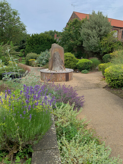
Image: © Paul Harrop Taken: 15 Jul 2024
On North Bar Within, a small area of public park, constructed to commemorate the Coronation of Queen Elizabeth II in 1953 and completed in 1955. In 2005 on the gardens' 50th anniversary a sensory garden area was created. The rear part (western end) of the Coronation Garden remains a burial ground with all the original undisturbed graves.
Images are licensed for reuse under creativecommons.org/licenses/by-sa/2.0
Image Location
Latitude
53.844334
Longitude
-0.436279